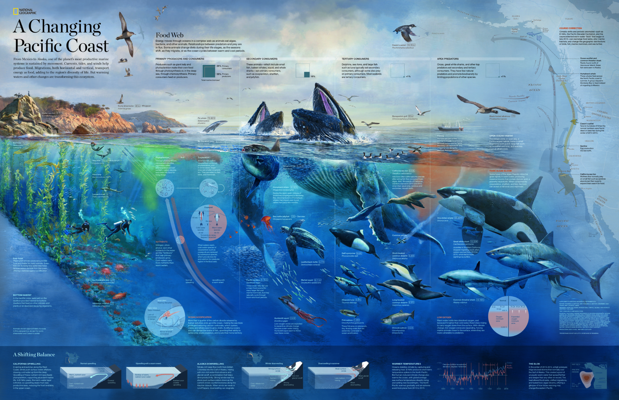
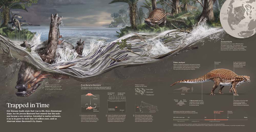
Infographic about development and creation of viking ships. The project was lead by Sr. Graphics Editor and Illustrator, Fernando Baptista. National Geographic Magazine March 2017.
The double-sided gatefold infographic illustrates the development and creation of Viking ships, as well as their settlement ranges. The project was led by Sr. Graphics Editor and Illustrator, Fernando Baptista, with the map created by Sr. Cartography Editor, Matthew W. Chwastyk. National Geographic Magazine March 2017.
For this project, we also collaborated with the video producer, Hans Weise, and animator, Monica Serrano, as well as an incredibly talented team at National Geographic, to create an animation made entirely out of paper. Check out our process below, and the video here!
Check out my other projects!


